
Exploring the hints in history to remember Portsmouth's forgotten canal which once ran through our glorious city
We all know that Portsmouth is bursting with history, but so much of it can be so easily lost or simply walked past each day without us really knowing what it is all about.
Once such example of that of Portsmouth’s ‘forgotten’ canal which was once part of a larger route from the River Arun in Arundel. It lead into Chichester Harbour, which cut across Thorney Island and then across the top of Hayling Island before joining the city in Milton at the end of what is today Locksway Road, taking its name from the canal lock, just to the east of the Thatched House pub.
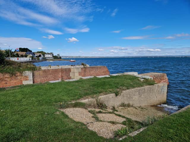

From there it travelled through Milton and Fratton to a basin in Landport - today known as Arundel Street in the city centre after taking its name from the River Arun - at the site of the derelict Debenhams store.
The 20 mile canal was constructed and linked to an established route from London so the French could not disrupt supplies reaching Portsmouth Dockyard during The Napoleonic Wars -with items such as guns and gun powered among the items transported.
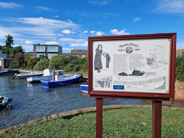
The Portsea Canal was opened in 1822 having been designed by leading civic engineer John Rennie with two locks having been built - the first still visible at Milton, but the second which was opposite the closed Oyster House pub has been destroyed.
There were said to be issues with water supplies on Portsea Island becoming contaminated by the canal, as well as salt water leaking into farmland on Thorney Island, and in the late 1820s the canal company diverted traffic across the top of Portsmouth through Ports Creek. The bed of the canal between Fratton and Landport was later sold to the railway - with a line opening in 1847 and rail travel then also becoming preferable to watertravel.
This history is remembered thanks to the naming of the street name Canal Walk on the old bed which is next to the railway tracks in the city centre.
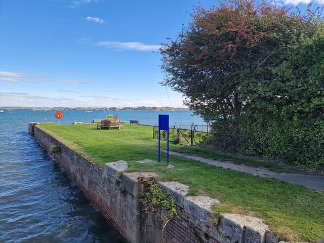
And despite much of the remnants of the canal’s history being swept away, our city is also filled with other nods to its place in our history. In the Milton area, the canal entrance still remains and today can be seen and viewed from the Milton Sea Lock viewpoint Gardens at the bottom of Longshore Way, with boats from Locks Sailing Club using the area.
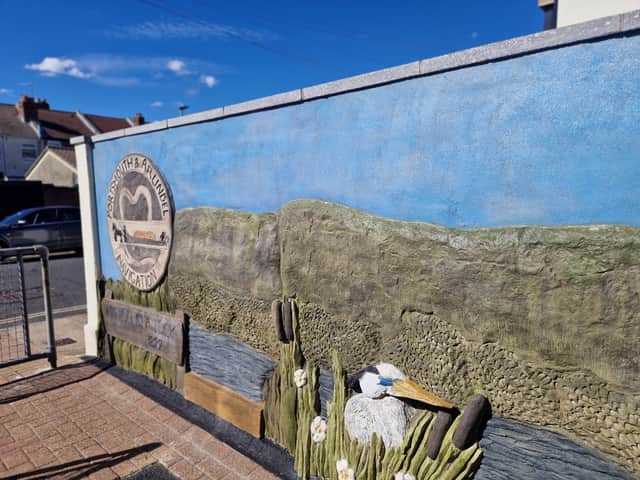
Seawater was pumped into the canal by a steam engine whose house still stands today - with a spectacular remainder of its history on view along the outside of the property thanks to some spectacular artwork.
The footpath between Ironbridge Lane and Trevis Road has a spectacular mural, depicting the canal and surrounding area and is well worth a visit to take a look at.
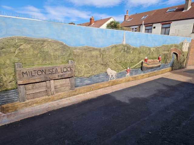
This can be discovered on a walk along the old canal path which runs from Milton Road to Locksway Road along the back of the houses - itself a nod to history with its historic lampposts and sections of cobbled streets.
Watch the video embedded in this story to follow a walk through Milton to retrace the path of the old canal - and see what remains today.
Many of the local road names also take their name from the canal, including Towpath Mead, Waterlock Gardens and Seaway Crescent - ensuring the canal’s history is still remembered.
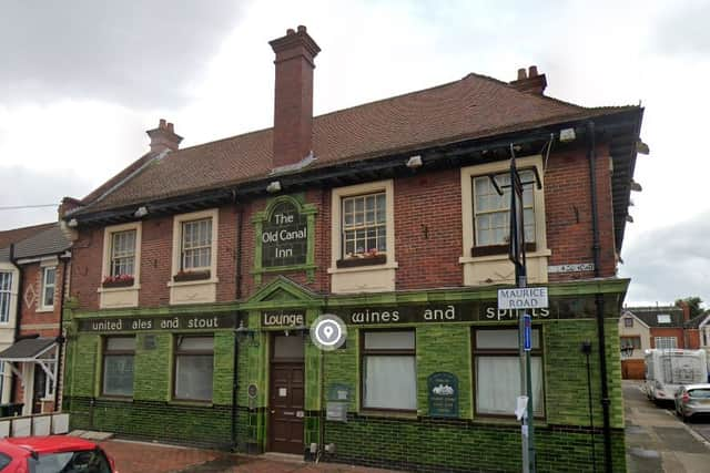
The Old Canal Inn which was a pub in Shirley Avenue before it closed in 2014 was also named after the canal.