These are the 14 areas of Portsmouth most prone to flooding
By Kieran Davey
Published 28th Feb 2019, 14:03 BST
Here are the 14 areas of Portsmouth which have been identified as most at risk of surface water flooding.
The at-risk areas have been named by Portsmouth City Council, and their selection is based on the number of flooding incidents recorded there, and how many receptors - critical infrastructure such as ambulance stations, police stations or electrical sub-stations - there are in the area.
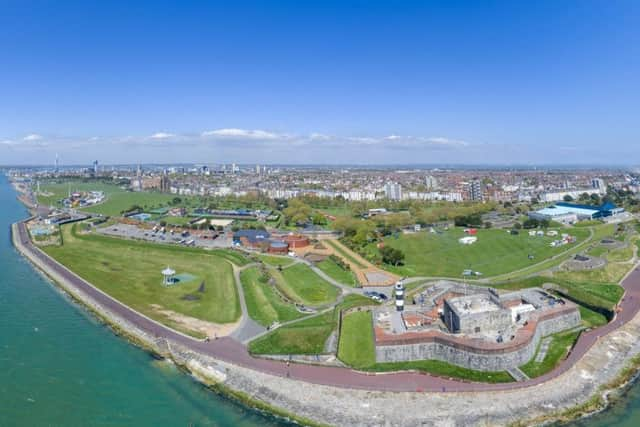
Picture: Shaun Roster
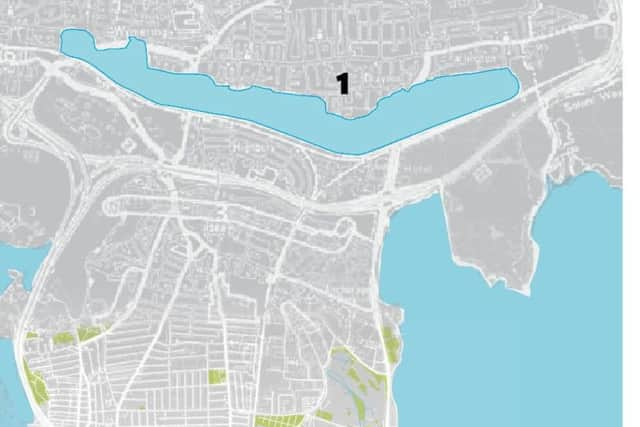
Area: 1.52km2. Number of flooding incidents: 17. Number of receptors: 47. Area susceptible to groundwater: Yes. PPP-191202-124322003
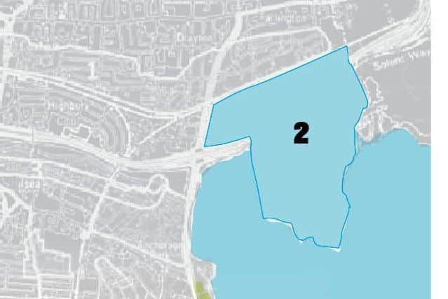
Area: 1.65km2. Number of flooding incidents: 0. Number of receptors: 2. Area susceptible to groundwater: No. PPP-191202-124451003
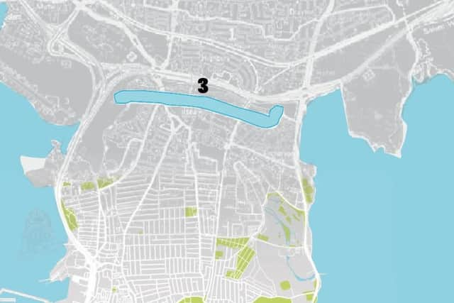
Area: 0.39km2. Number of flooding incidents: 1. Number of receptors: 6. Area susceptible to groundwater: No. PPP-191202-124505003
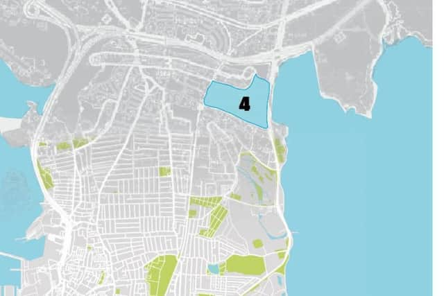
Area: 0.5km2. Number of flooding incidents: 1. Number of receptors: 10. Area susceptible to groundwater: No. PPP-191202-124516003
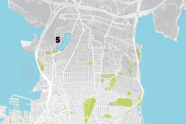
Area: 0.12km2. Number of flooding incidents: 7. Number of receptors: 5. Area susceptible to groundwater: No. PPP-191202-124529003
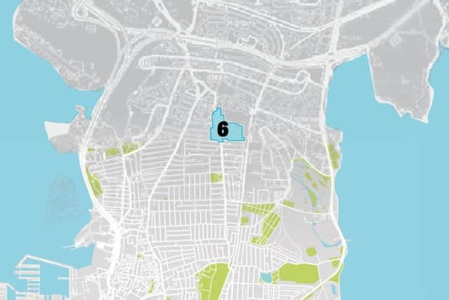
Area: 0.12km2. Number of flooding incidents: 6. Number of receptors: 2. Area susceptible to groundwater: No. PPP-191202-124541003